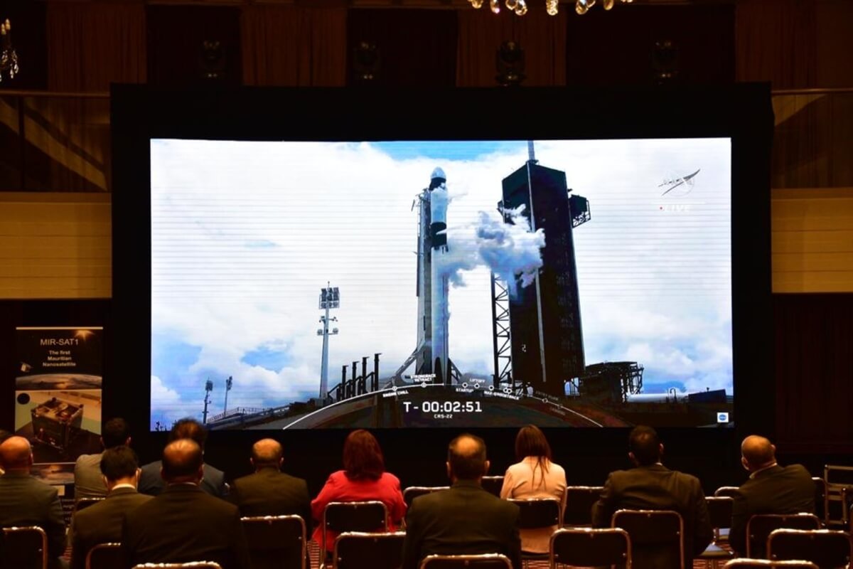
The data from the satellite will be put to use for various purposes which will include maritime surveillance of the exclusive economic zone, climate change adaptation, weather forecasting as well as road traffic management. This marks a historic move for Mauritius which has wished to engage in the spheres of space and satellite technology as part of the national development agenda. The ministry announced that the debut Mauritian nanosatellite MIR-SAT1 had docked at the International Space Station (ISS) aboard SpaceX-CRS22 Cargo Dragon rocket on Saturday 5 June 2021. The spacecraft travelled for approximately 26 hours prior to reaching the ISS, after it took off from NASA’s Kennedy Space Centre, in Florida, United States, on Thursday, on the 3rd of June at 17:29 UTC (21:29 Mauritian time - GMT+4).
What Will the Nanosatellite Do?
The Mauritian nanosatellite will be sent into low earth orbit from the space station by 22 June. This marks a historic move for Mauritius which envisions engaging in the spheres of space and satellite technology, as mentioned earlier. The Minister of Information Technology, Communication and Innovation, Mr Deepak Balgobin and other key dignitaries saw the SpaceX-CRS22 Cargo Dragon rocket take off from the Government House in Port Louis. Amongst those present were members of the Board of Directors of the Mauritius Research and Innovation Council (MRIC), which is the Government agency operating the pioneering nanosatellite project in Mauritius. Minister Deepak Balgobin stated that after two years of hard work, the nanosatellite had now reached the ISS. This springboard to space will open up new opportunities and initiatives for the country via space and satellite technology and gives new impetus to socio-economic development. Mauritius made the first big step into space science and technology, with this being a momentous achievement and reflects the vision of the Prime Minister, Pravind Jugnauth, of a knowledge-based economy. Even if the satellite is small in size, just like the island, today’s launch indicates that the giant leap has been successful and poses Mauritius high in the sky. Furthermore, the MRIC has set up a ground station at Ebène in order to receive data from low-orbiting MIR-SAT 1. This data will be used for various purposes such as maritime surveillance of Mauritius’ vast exclusive economic zone, climate change adaptation, weather forecasting and road traffic management.
